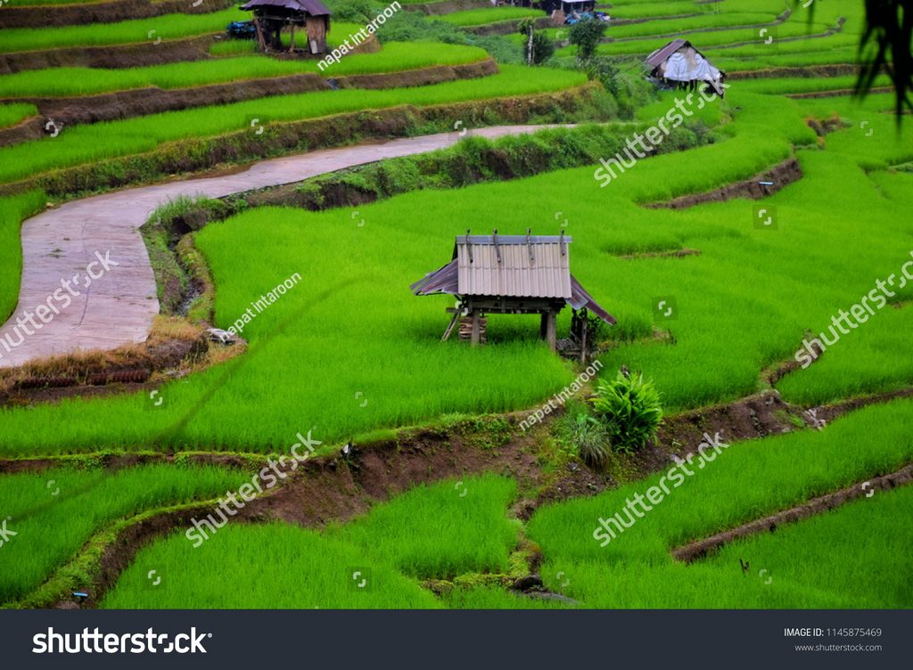
Mae Lanoi district situated in the south of Mae Hong Son province. The march of the neighboring administrative area as follows the North is next to Khun Yuam district, the East is next right to Mae Chaem district in Chiang Mai province, the South is next to Mae Sarieng district, and the West is next to the Kaya state of Myanmar and Mae Sariang district. It is 134 km. far from Mae Hong Son Muang district, most of the topography is mountainously surrounded by big and small mountains it is quite peace and calm.

There are 3 seasons for the climate as follow summer begins from March-May, the rainy season begins from June-October, and cold begins from November-February the all year average temperature is 23 degree ̊C. The total area is 1,456.645 square km. and total population is 34,310 persons (2009) which consist of Native people, Shan, Karen, Hmong, and Lawa most of the people earn their living in agriculture and planting area is on the high steep hillsides, upland rice planting, and other field crops e.g. corns, beans, there is not quite a lot of rice fields, most of it is along both sides of Yaum and Mae Lanoi rivers, and livestock. Mae Lanoi district is divided the administrative area into 8 sub-districts namely: Mae Lanoi sub-district, Mae La Luang sub-district, Tha Pha Pum sub-district, Mae Tho sub-district, Huai Hom sub-district, Santi Khiri sub-district, Khun Mae Lanoi sub-district, and there are altogether 69 villages.
Useful telephone numbers
Mae Lanoi Hospital: 0-5368-9060
Mae Lanoi Police Station: 0-5368-9097-8
Mae Lanoi District office: 0-5368-9022