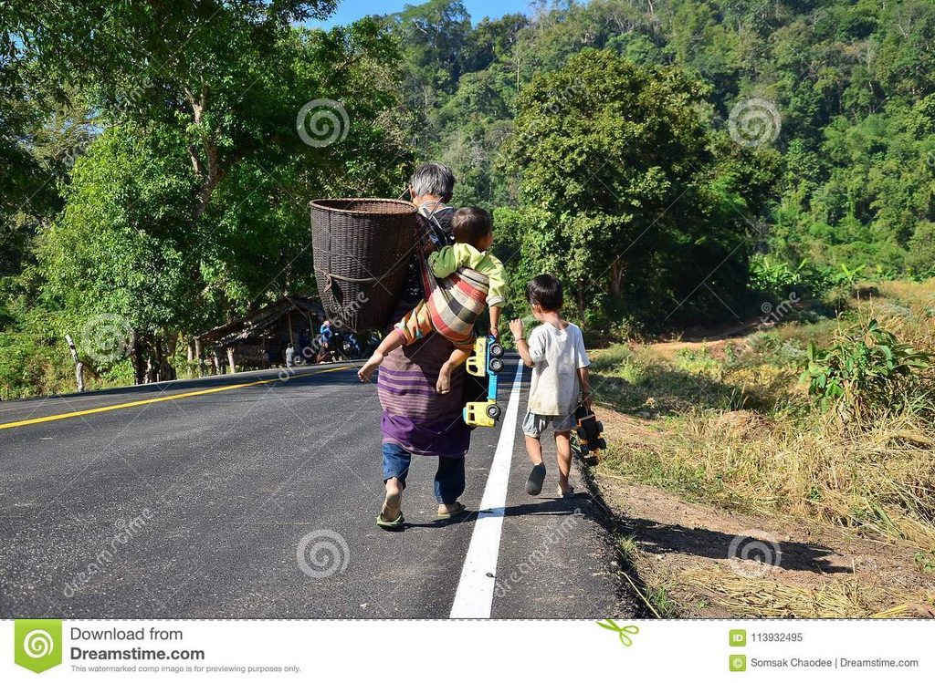
Mae Sariang district located in the south of the province, and has neighboring administrative area next to Mae Lanoi district in the North, the South is next to Sob Moei district, the East is next to Mae Chaem, and Hod districts in Chiang Mai province, the West is next to Karen state and the Kaya state of Myanmar. It is 164 km. far from Mae Hong Son Muang district. Most of the area is sophisticated mountains and dense forest. Mae Sariang district has the territory next to Myanmar in the west along the distance 166 km. and the frontier is blocked by the Salween River on the distance 101 km.

The climate is divided into 3 seasons as follow summer begins from March-May, the rainy season begins from June-October, and cold begins from November-February the average temperature for the whole year is 25 degree ˚C. The total area is 2,587.425 square km. the total population is 52,242 persons (2009) which consist of Native people, Shan, Karen, and Hmong, most of them earn their living in agriculture such as rice planting, beans, onions-garlic, other fruits and vegetables and livestock. Mae Sariang district divided the administrative area into 7
Useful telephone numbers
Mae Sariang Hospital: 0-5368-1027, 0-5368-1394
Mae Sariang Police Station: 0-5368-1309
Mae Sariang Immigration: 0-5368-1339
Mae Sariang Custom’s duty: 0-5368-1312
Mae Sariang Christian Hospital: 0-5368-1032
Mae Sariang District offices: 0-5368-1220
Banks
Krung Thai Bank
31 Moo 2 Langpanis Rd. Mae Sariang District
Tel. 0-5368-1111, 0-5368-1482 Fax. 0-5368-1222
TMB Bank
165 Moo 2 Wiang Mai Rd. Mae Sariang District
Tel. 0-5368-2041, 0-5368-2042 Fax. 0-5368-2045